Moab
Daily
Difficulty:
Class III/III+
Craft:
Raft
Ducky
Kayak
SUP Board
Canoe
Elevation:
Put in – 4,099ft
Takout – 4,000ft
Length:
13.1 miles
This regular size map covers approximately 13 river miles on the Colorado River in the Moab Area.
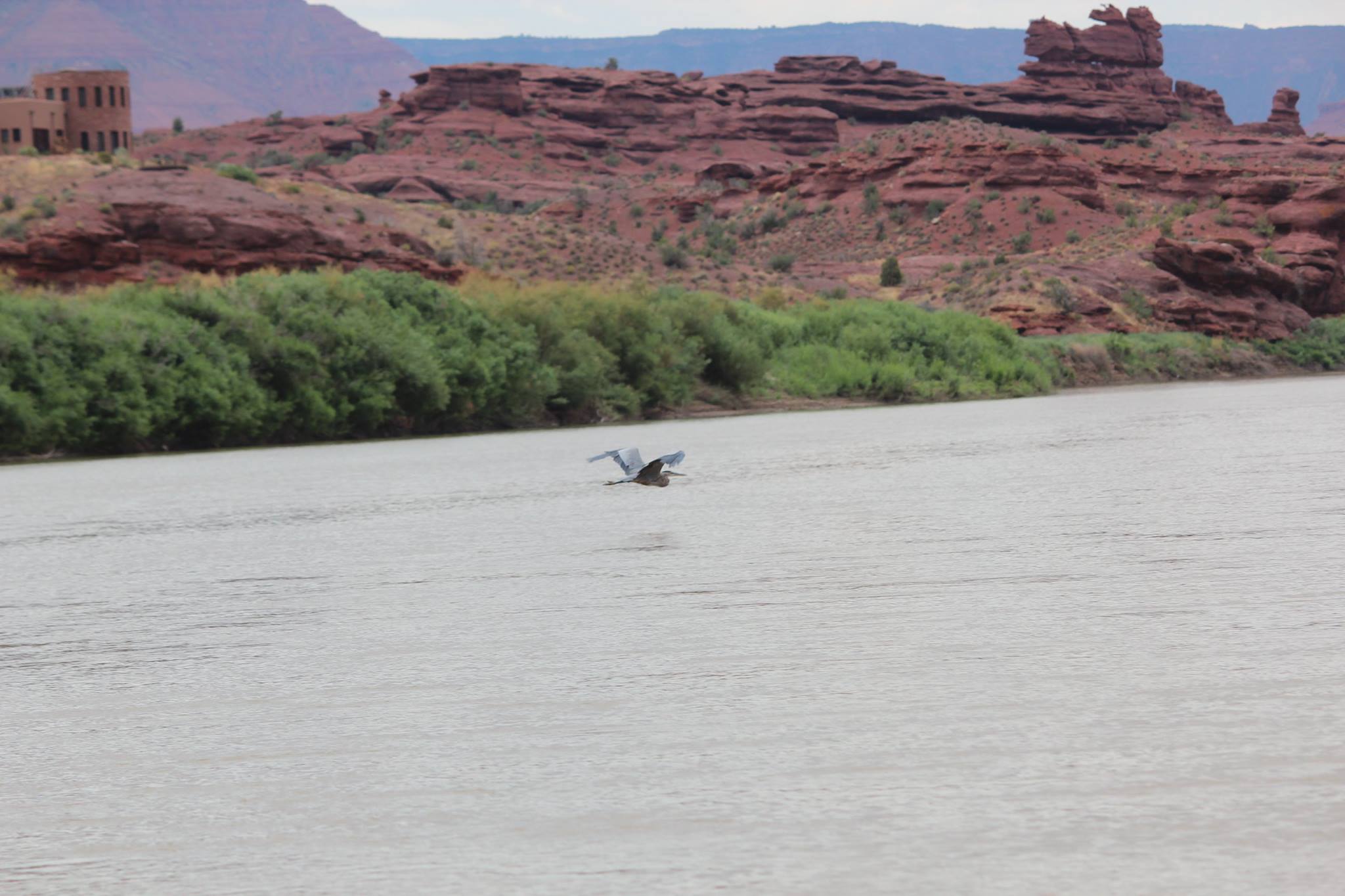
Moab Daily is a breathtakingly beautiful run on the Colorado River that is a must for any river rat. This is my go-to run for non-river running family and friends that visit from out of town. It has just enough excitement to give them a whitewater experience and views that will be in their memories for the rest of their lives. While this stretch has some significant rapids, in between the rapids it is really mellow, almost flat. There is a section I’ve dubbed Lake Moab as it has almost no gradient but it’s right after Lunch Island so it gives you a nice relaxing after lunch nap before hitting the last major rapid.
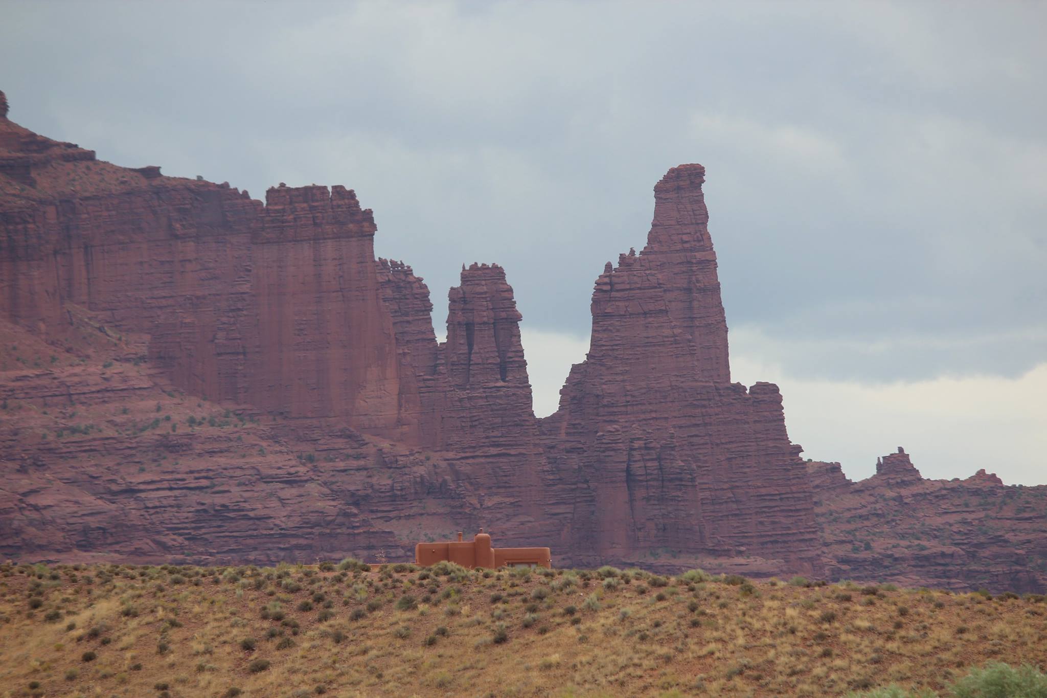
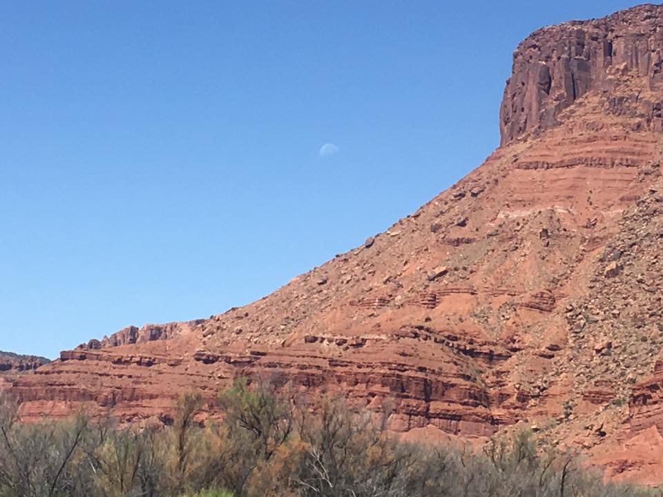
As you float down this stretch of river you are treated with a deep maroon Wingate cliff to the north and views of the La Sal Mountains in the distance to the south. The Fischer Towers, Castleton Tower, Priest and Nuns, Parriot Mesa and more can be seen along the way. The last 3ish miles of the river after White’s Rapid the canyon closes up and you get the feeling of being surrounded by beautiful sandstone cliffs. This area has been used as a Hollywood backdrop for many decades with everything from John Wayne Westerns to scenes of Mars being shot here.

Camping:
Don’t let the “Daily” in the name fool you, this stretch of river offers several camping opportunities on both sides of the river ranging from the resort experience to much more primitive. Hittle Bottom and Lower Onion Creek campgrounds are often full of people setting up base camp to run laps on the Daily, or other Moab adventures. As these camp sites are accessible by car they can fill quickly on the weekends. If one were looking for the multi-day experience in a less committed setting this could be the one. There are several primitive camp sites on river right that are not accessible by car and don’t fill up as often so one could put in up river, like at Dewey Bridge, or continue past Takeout Beach and make it a multi-day adventure. The stretches above and below the Daily are class I/II but what they lack in excitement they make up for in beauty. The entire run from Dewey Bridge into Moab is road side, or close enough, if one wanted to do a test run overnight trip to work through systems this would be a low commitment way to do it.
That said, driving over from Grand Junction or Moab, running the river and driving home makes for a long day but it is feasible even at low flows, I would say more feasible than Westwater in a day.
Season:
Moab is a high desert environment and is usually about 5-10 degrees warmer than Grand Junction and 15-20 warmer than any of the high-altitude rivers, the water is even a few degrees warmer here than it is up stream. As such it has one of the longest seasons of comfortable weather in the region. It is possible to run this year-round as the water never stops flowing, however May-September is your best bet for good temps. Because of this it has been my first and last run of the season for many years having done runs comfortably as early as March and as late as October.
Stacey:
Stacey is an evil, fun sucking (or, more accurately, blowing) beast that almost always blows up stream; slowing, stalling and sometimes even negatively impacting progress downstream. Stacey often picks up in the afternoon between 1pm and 5pm, even on days with nothing in the forecast, and can ruin an otherwise fun day. Stacey rears her ugly head most often in the spring, and fall and it’s a good rule of thumb to try and be off the water before 1pm during these times of year. Some will tell you this occurs because Colorado sucks, but we all know it’s because Utah blows.
River Access Points:
There are five access points along this stretch of river with the most popular run being Onion Creek to Takeout Beach. This gives you all the rapids and cuts out about 2 1/2 miles of flat water. The first rapid is immediately after you put on if launching from Onion Creek so if you’d rather have a mellow warm up I’d put on at Hittle Bottom. The stretch from Hittle to Onion is beautiful and well worth doing. Ida Gulch is about half way and one could use this to shorten their time on the water or for an emergency takeout. Sandy Beach is ok in a kayak, SUP or other small craft but I wouldn’t attempt taking out here with a raft. Takeout Beach is the main takeout and is often crowded but the flow makes it go pretty smooth.

Water sports are inherently dangerous sports in which severe injuries or death may occur.
Do not use this website or maps unless you are an expert, have sought out and obtained qualified professional instruction or guidance, are knowledgeable about the risks involved, and are willing to assume personal responsibility for the risks associated with these activities. If you have any doubts in your ability please stay off the water.
DO NOT USE THIS WEBSITE OR MAPS UNLESS YOU ARE WILLING TO ASSUME PERSONAL RESPONSIBILITY FOR THE RISKS ASSOCIATED WITH THE ACTIVITIES DESCRIBED OR DEPICTED!!!