Lower
Roaring Fork
Difficulty:
Class II+/III-
Craft:
Raft
Ducky
Kayak
SUP Board
Canoe
Elevation:
6,100ft
Length:
13.8 miles
Season:
Year Round
Optimal:
May-September
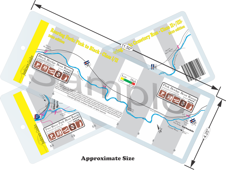
The Lower Fork is the last stretch of the Roaring Fork River from Carbondale to its confluence with the Colorado River in Glenwood. This stretch is broken up into two sections with the bottom “Cemetery Run” being more popular for those seeking whitewater and the upper “Pink to Black” being great for beginners or those looking for a more mellow day. Both stretches of river are popular with fisherman going after trout. Set in the beautiful Roaring Fork Valley this stretch gives the feeling of remoteness and the comfort of knowing cavillation is close by just in case.
Pink to Black:
Pink to Black is a great place for fishing but it is also a great run for beginner kayakers or SUP boarders to get some of their first river experiences. With long mellow stretches and easier wave trains this stretch offers plenty of opportunities to work on eddy turn, ferries, and other river skills with plenty of room to recover. The only downside to this stretch is it runs through a gated community and no trespassing signs are everywhere. One could potentially face trespassing charges if they walk on the shore.
Cemetery Run:
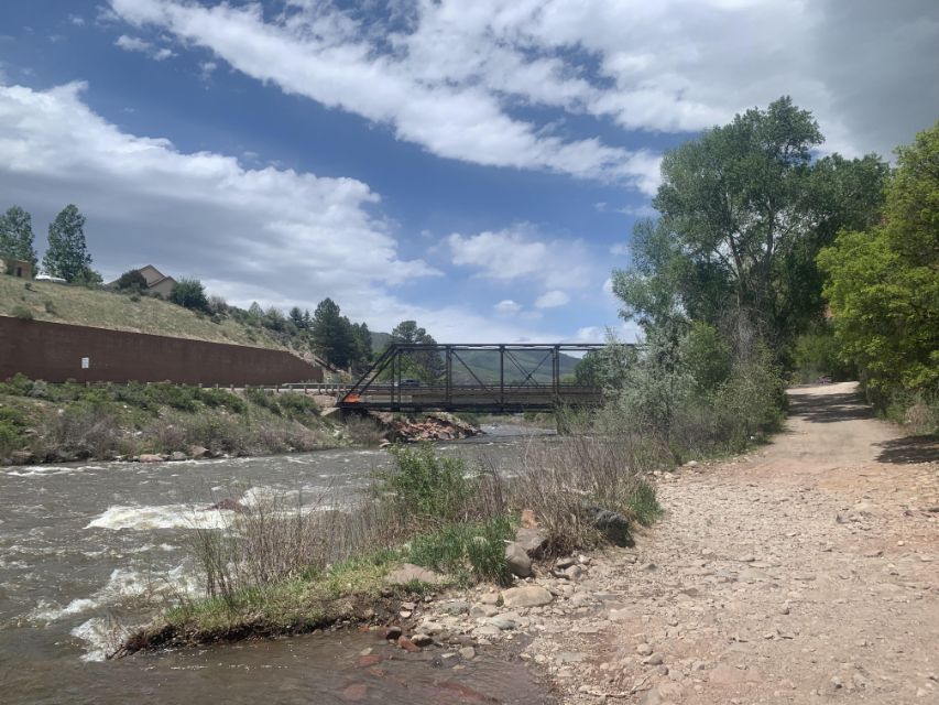
The Cemetery Run gets its name from the Rosebud Cemetery that is alongside the river near the biggest rapid on the run, giving that rapid its name as well. This is an excellent run for advanced beginners at most flows with a lot of opportunity to drill skills leading up to the Cemetery Rapid. What really makes this run shin as a teaching river is the hardest rapid is just before the river flattens out giving a nice recovery zone and there’s even a small park with picnic tables on river left to gather yourself before continuing. All of the excitement is in the first half of the run leading up to the Cemetery Rapid then it mellows out giving a nice cooldown as you float through town to the takeout.
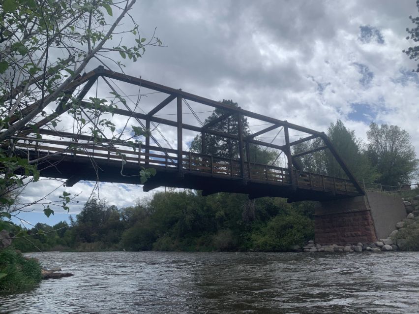
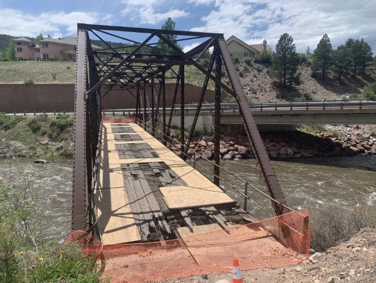
A couple of options for taking out early exist but they require carrying all of your gear a half mile or more. From the picnic tables below the Cemetery Rapid you can walk a pedestrian path up to Midland Ave and at a couple of the bridges, including 27 RD, you can get out and walk to a parking area. None of these are really good options but if one wanted to take out early these options are there.
Water sports are inherently dangerous sports in which severe injuries or death may occur.
Do not use this website or maps unless you are an expert, have sought out and obtained qualified professional instruction or guidance, are knowledgeable about the risks involved, and are willing to assume personal responsibility for the risks associated with these activities. If you have any doubts in your ability please stay off the water.
DO NOT USE THIS WEBSITE OR MAPS UNLESS YOU ARE WILLING TO ASSUME PERSONAL RESPONSIBILITY FOR THE RISKS ASSOCIATED WITH THE ACTIVITIES DESCRIBED OR DEPICTED!!!
