Cisco to
Hittle Bottom
Difficulty:
Class I/II
Craft:
Raft
Ducky
Kayak
SUP Board
Canoe
Elevation:
Put in – 4,166ft
Takeout – 4,099ft
Length:
22.7 miles
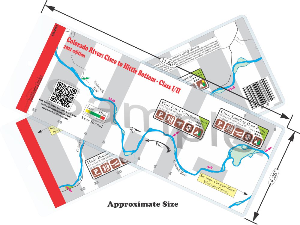
This regular size map covers approximately 22 river miles on the Colorado River in the Moab Area.
As the Colorado River leaves Westwater Canyon it starts to meander slowly through an amazing landscape of red and tan sandstone reminiscent of Ruby Horsethief above Westwater. The longer of the two main stretches from Cisco to Dewy Bridge is not as popular as the stretch from Dewy to Hittle Bottom. Both stretches are very slow as there isn’t much gradient but that gives more time to soak in the scenery and drink more beer. If one were looking for a mellow multi day, without having to get a permit, this could be the stretch you are looking for.

Water sports are inherently dangerous sports in which severe injuries or death may occur.
Do not use this website or maps unless you are an expert, have sought out and obtained qualified professional instruction or guidance, are knowledgeable about the risks involved, and are willing to assume personal responsibility for the risks associated with these activities. If you have any doubts in your ability please stay off the water.
DO NOT USE THIS WEBSITE OR MAPS UNLESS YOU ARE WILLING TO ASSUME PERSONAL RESPONSIBILITY FOR THE RISKS ASSOCIATED WITH THE ACTIVITIES DESCRIBED OR DEPICTED!!!

