Escalante
To Whitewater
Difficulty:
Class I/II+
Craft:
Raft
Ducky
Kayak
SUP Board
Canoe
Elevation:
Put in – 4,800ft
Takeout – 4,700ft
Length:
27 miles
Season:
Year Round
Optimal:
May-September
In 1776 while America was declaring its independence from Britten, most of what would later be referred to as the wild west was ruled by the Spanish. Leaving Santa Fe New Mexico in late July that year Father Atanasio Domínguez and Father Silvestre Vélez de Escalante led ten men on a journey to find a passage through to the mission in Monterey CA. With the help of a few Ute guides they explored a path that took them through Western Colorado, into Utah and over to Cedar City before they turned back to Santa Fe realizing it was too late in the year to continue traveling through the mountains. This laid the ground work for the eventual Spanish trail of which the north fork of the trail came right through this area.
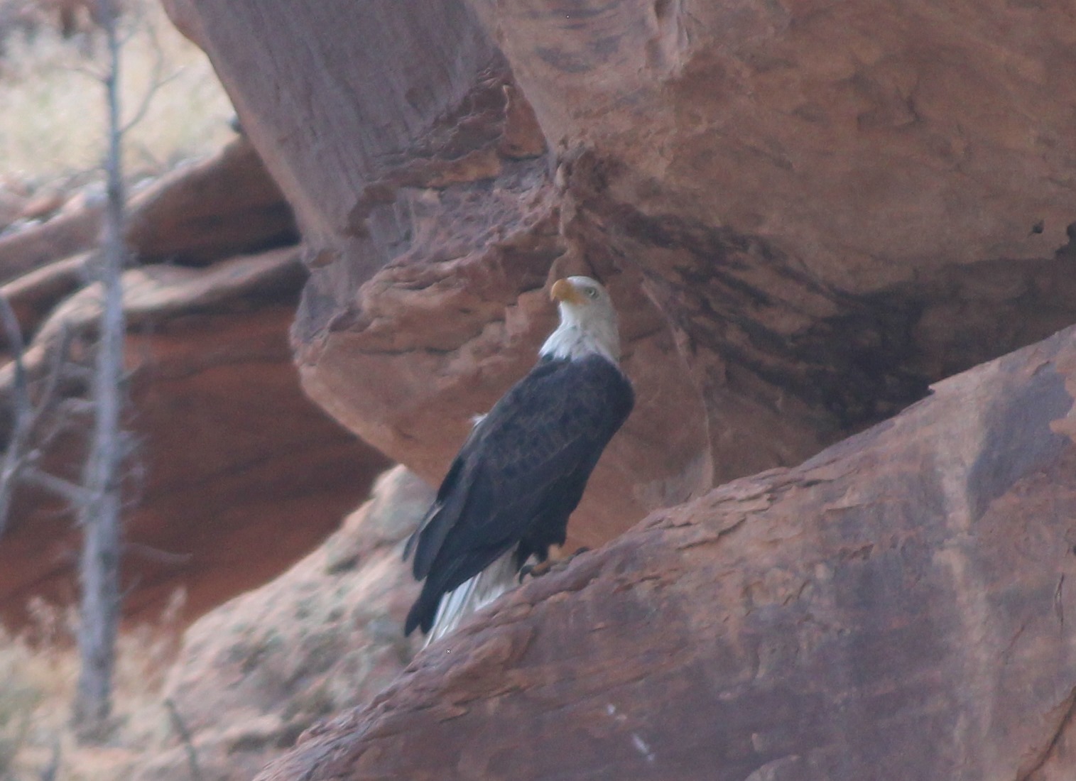
The Gunnison River, after leaving Delta CO, enters the Dominguez Escalante National Conservation Area and proceeds on its path to Grand Junction and the Colorado River. It is unlikely that either Dominguez or Escalante ever saw the canyons or this land that later took their names but it an homage to the impact their journey had on the area.

The river is pretty mellow through here making it a great beginner or family float. There are two rapids that might get up to be II+ or III- but they are just single waves and are very mellow at low flows. Most people do this as an overnight, launching from Escalante and taking out at Whitewater but you could also day trip either section splitting it up at Bridgeport. There are a few campsites to be found along the river but the best place to camp is in one of the multiple sites at the mouth of Dominguez Canyon.
The stretch from Escalante to Bridgeport is a little faster than the second half. It’s still pretty flat but there is a little more gradient making the miles go by a little quicker. The view through this entire run is beautiful which is a stark contrast to the drive on hwy 50 between Junction and Delta which I believe to be the worst drive in the state. There is a lot of private land along the river though here, ranches and orchards for the most part. Please respect their land and stay on the river. Only camp in designated sites, they all have a marker.
Side Hikes:
Dominguez Canyon
This is a popular trail not only for people running the river but also for those that drive in and park at Bridgeport. There are two bridges over the river, the northern one is private and heads to the ranch downstream where the other is open to the public for pedestrian traffic. As you head up the canyon you’ll find a split with the left fork being Little Dominguez and the right being Big Dominguez. Both are worth a hike but big Dominguez is where you’ll find the waterfalls and petroglyphs. The first set of petroglyphs are close to the waterfall about 1.4 miles up the canyon with the second set about 2.8 miles. The hike up either canyon is beautiful and well worth it.

Water sports are inherently dangerous sports in which severe injuries or death may occur.
Do not use this website or maps unless you are an expert, have sought out and obtained qualified professional instruction or guidance, are knowledgeable about the risks involved, and are willing to assume personal responsibility for the risks associated with these activities. If you have any doubts in your ability please stay off the water.
DO NOT USE THIS WEBSITE OR MAPS UNLESS YOU ARE WILLING TO ASSUME PERSONAL RESPONSIBILITY FOR THE RISKS ASSOCIATED WITH THE ACTIVITIES DESCRIBED OR DEPICTED!!!
0 Comments